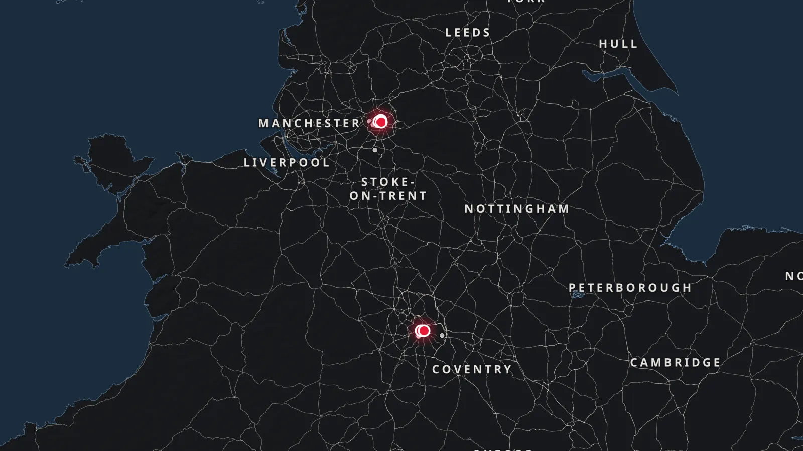
Plotting Manchester and Birmingham52.9800° N 2.0600° W
Continental AtlasManchester and Birmingham
Manchester and Birmingham regeneration map.
5 developments and 51 places that matter to an investor, on one live chart. Choose a development to see what is nearest, or a scheme to see where it stands.
New developments in Manchester and Birmingham, and what’s near each
The airport, the nearest station or district, the hospital, the school and the nearest scheme on the way, from each development we sell. Drive times by road without traffic, and walking times, routed over OpenStreetMap (OSRM).
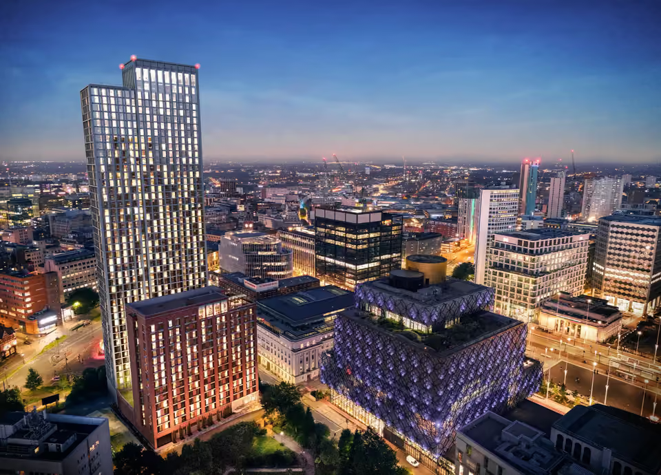
Smithfield House sits 17 min walk from Birmingham New Street, 8 min walk from Bullring & Grand Central, 11 min drive from Queen Elizabeth Hospital Birmingham.
Birmingham New StreetGetting here8 min drive · 17 min walk
Bullring & Grand CentralBeaches, golf and districts6 min drive · 8 min walk
Queen Elizabeth Hospital BirminghamHealthcare11 min drive
Aston UniversitySchools and universities6 min drive · 19 min walk
HM Land RegistryResidency and title9 min drive · 18 min walk
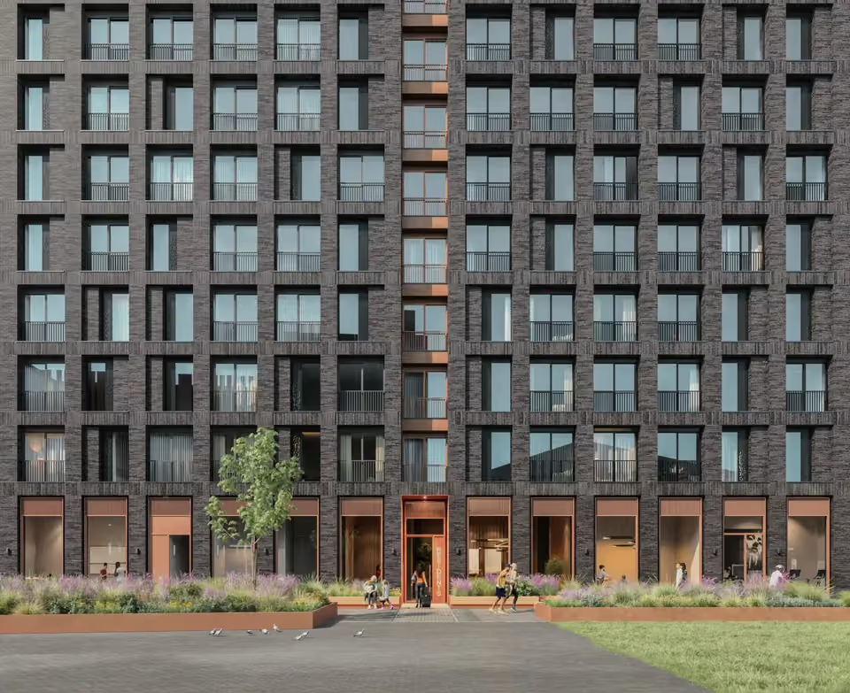
Kingfisher, Red Bank Riverside sits 18 min walk from Manchester Victoria, 20 min walk from Northern Quarter, 13 min drive from Manchester Royal Infirmary.
Manchester VictoriaGetting here4 min drive · 18 min walk
Northern QuarterBeaches, golf and districts4 min drive · 20 min walk
Manchester Royal InfirmaryHealthcare13 min drive
Manchester Metropolitan UniversitySchools and universities8 min drive · 34 min walk
Canal-side homes in converted warehouses and new buildings off Aytoun Street, with gardens and shops.
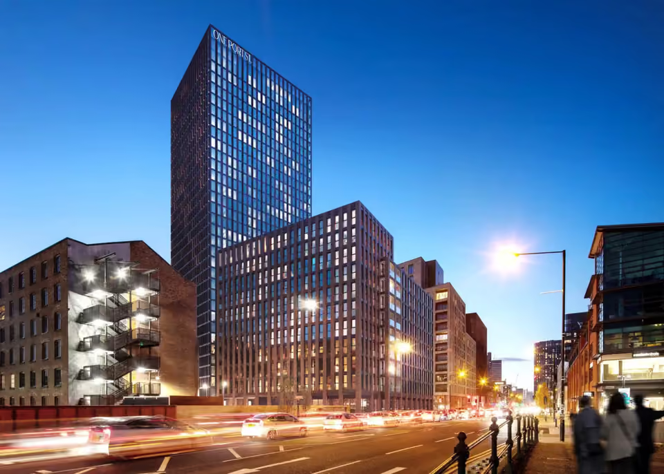
10 min walk from One Port Street, Manchester
New Islington
Marina-side homes and Cotton Field Park, east of Ancoats.
10 min walk from One Port Street, Manchester
Co-op Live
The UK’s largest indoor arena, on the Etihad Campus.
5 min drive from One Port Street, Manchester
Residency and title
HM Land Registry
Registers freehold and leasehold title in England and Wales.
7 min walk from Edition Birmingham
What’s coming to Manchester and Birmingham
The infrastructure and regeneration planned or under way, with the body responsible. Status as published by each authority; open a scheme for its plans, sources and our nearest developments.
Under construction
HS2 Curzon Street
The Birmingham terminus of HS2’s London–Birmingham line.
HS2 LtdPlans, status and nearest homes
Planned
Smithfield Birmingham
A new city quarter of homes, a market and public space on the old wholesale markets site.
Birmingham City CouncilPlans, status and nearest homes
Partly open
Metro Eastside extension
The West Midlands Metro extension through Curzon Street to Digbeth: open to Millennium Point, the rest due in 2028.
Transport for West MidlandsPlans, status and nearest homes
Partly open
Victoria North
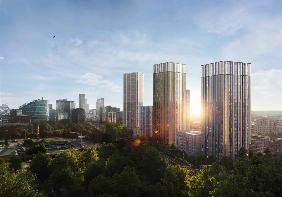
A long-term regeneration of the Irk Valley, Red Bank and Collyhurst, planned for thousands of new homes.
Manchester City CouncilPlans, status and nearest homes
Partly open
Mayfield
Offices, homes and the city’s first new park in a century, beside Piccadilly.
Manchester City CouncilPlans, status and nearest homes
Partly open
St John’s
A new neighbourhood on the former Granada Studios site, anchored by Aviva Studios, home of Factory International.
Manchester City CouncilPlans, status and nearest homes
Planned
Holt Town
A riverside neighbourhood planned east of Ancoats and New Islington, with around 4,500 homes.
Manchester City CouncilPlans, status and nearest homes
Planned
Sister (ID Manchester)
The innovation district of offices, labs and homes on the former UMIST campus beside Piccadilly, renamed Sister in 2024.
The University of ManchesterPlans, status and nearest homes
Partly open
Great Jackson Street
The tower cluster round Deansgate Square, at the south of the centre, where more homes are being built.
Manchester City CouncilPlans, status and nearest homes
Partly open
Salford Central
Offices, homes and public space round Salford Central station, across the Irwell from Spinningfields.
Salford City CouncilPlans, status and nearest homes
Partly open
Crescent Salford
A masterplan round Salford Crescent station and the University of Salford for homes, research space and a transport hub.
Salford City Council, University of SalfordPlans, status and nearest homes
Partly open
Pomona Island
A planned waterside neighbourhood of homes and a park between the Bridgewater and Ship canals.
Trafford CouncilPlans, status and nearest homes
Planned
Old Trafford regeneration
Manchester United’s plan for a new stadium beside Old Trafford, at the heart of a wider regeneration of Trafford Wharfside.
Manchester United, Trafford CouncilPlans, status and nearest homes
Writing about property or infrastructure in Manchester and Birmingham? Put the live map in your page, or take the data. Free to use: credit Crown Continental with a link to this page.







 01