















RegenerationManchester
Holt Town, Manchester: regeneration plans, status and map.
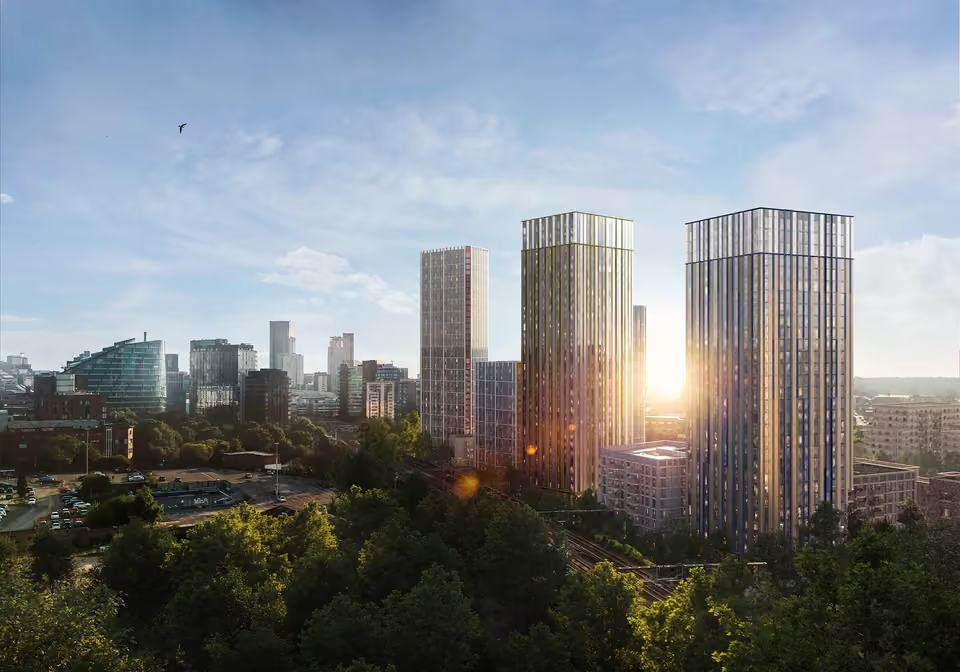
A new low-carbon neighbourhood planned on the Medlock valley between New Islington and the Etihad Campus, with homes, parkland along the river and the Ashton Canal, and community space. The framework is adopted; delivery is still being planned.
PlannedManchester City Council · as at October 2026
What is planned, and where it stands
Each line as published by the body named, with the date it was published.
Manchester City Council’s Executive approved the final Holt Town Neighbourhood Development Framework on 22 January 2025.
Manchester City Council, January 2025The framework sets out a new low-carbon neighbourhood of around 4,500 homes, at least 20% of them affordable.
Manchester City Council, January 2025Plans include 30,000 sq ft of commercial space, 15 acres of green space with a new river park, a 1km pedestrian play route, a cultural hub and lido, and centralised parking.
Manchester City Council, January 2025The council said work was under way on a phasing plan, with a later paper to its Executive to set out how it will be delivered.
Manchester City Council, January 2025The framework will guide investment in Holt Town over the next 10 to 20 years.
Manchester City Council, undated, read October 2026
Our developments nearest Holt Town
The 3 developments we sell nearby, nearest first. Drive times by road without traffic, and walking times, routed over OpenStreetMap (OSRM).
Holt Town on the map
The scheme, our developments and the stations, schools and hospitals round it. Nearest stops: Holt Town Metrolink (350 m), New Islington Metrolink (350 m), Etihad Campus Metrolink (1.1 km), Manchester Piccadilly (1.1 km), as the crow flies.
Loading the map
Open the full United Kingdom mapNew projects around Holt Town
- Victoria NorthPartly openA long-term regeneration of the Irk Valley, Red Bank and Collyhurst, planned for thousands of new homes.Source: Manchester City Council
- St John’sPartly openA new neighbourhood on the former Granada Studios site, anchored by Aviva Studios, home of Factory International.Source: Manchester City Council
- Holt TownPlannedA riverside neighbourhood planned east of Ancoats and New Islington, with around 4,500 homes.Source: Manchester City Council
- Sister (ID Manchester)PlannedThe innovation district of offices, labs and homes on the former UMIST campus beside Piccadilly, renamed Sister in 2024.Source: The University of Manchester
- Salford CentralPartly openOffices, homes and public space round Salford Central station, across the Irwell from Spinningfields.Source: Salford City Council
The guides, and the other schemes nearby
- GuideAncoats and New Islington: the area guide
- GuideManchester regeneration: the investor tracker
- Partly openVictoria North
- Partly openMayfield
- Partly openSt John’s
- Partly openSister (ID Manchester)
- Partly openGreat Jackson Street
- Partly openSalford Central
- Partly openCrescent Salford
- Partly openPomona Island
- PlannedOld Trafford regeneration
Status as published by Manchester City Council and the bodies cited; each fact links to its source. Travel times routed over OpenStreetMap (OSRM), © OpenStreetMap contributors (ODbL). Map charted 20 October 2026.
Speak to an adviser
Homes near Holt Town.
Tell us what you are looking for near Holt Town and an adviser will send what is available nearby, including developments not listed on this site.